 Call
Call  Whatsapp :


Our Services


- Land & Strata Development Consultancy
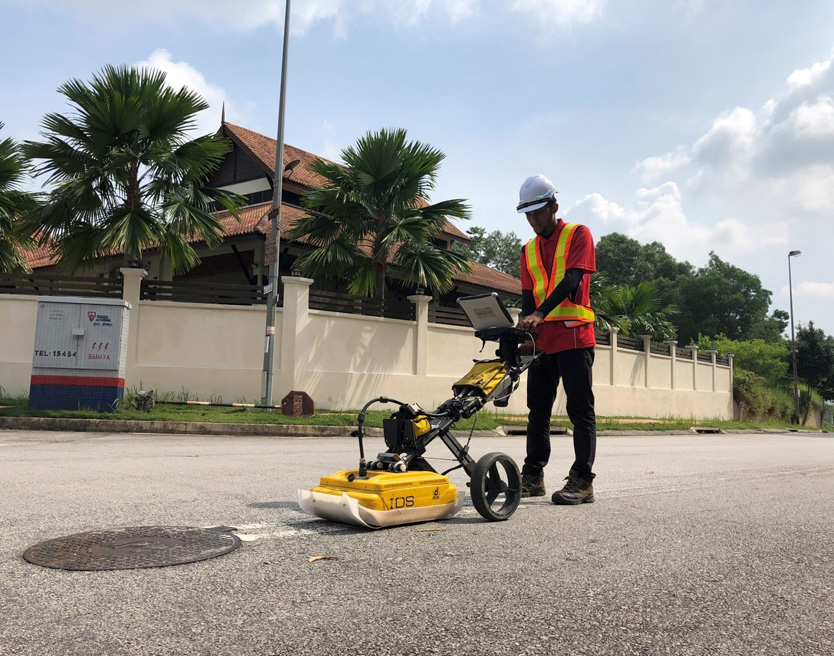
- Underground Utilities Detection and Mapping / Subterranean Survey
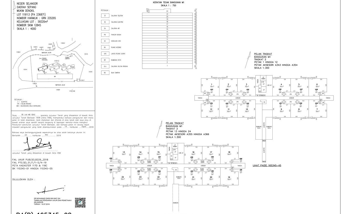
- Cadastral / Land Title
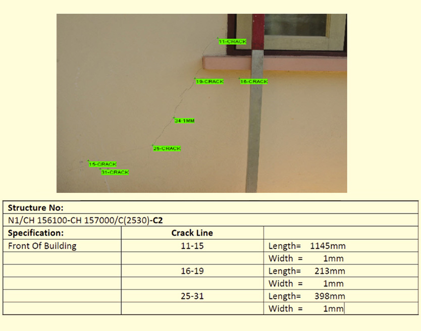
- Strata Title Survey
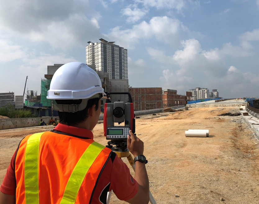
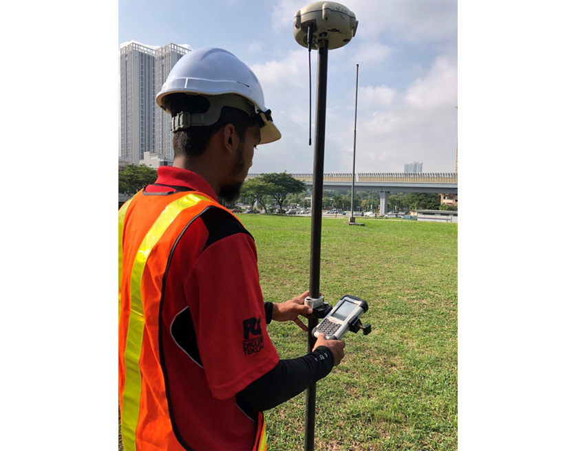
- Engineering Survey
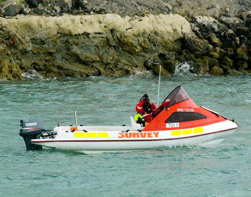
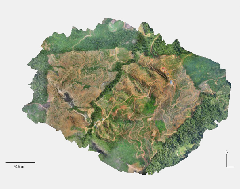
- Hydrographic Survey
- Topographical Survey
- Unmanned Aerial Vehicle (UAV) Survey
- Close Range Photogrammetry Survey
- Geographical Information System (GIS)
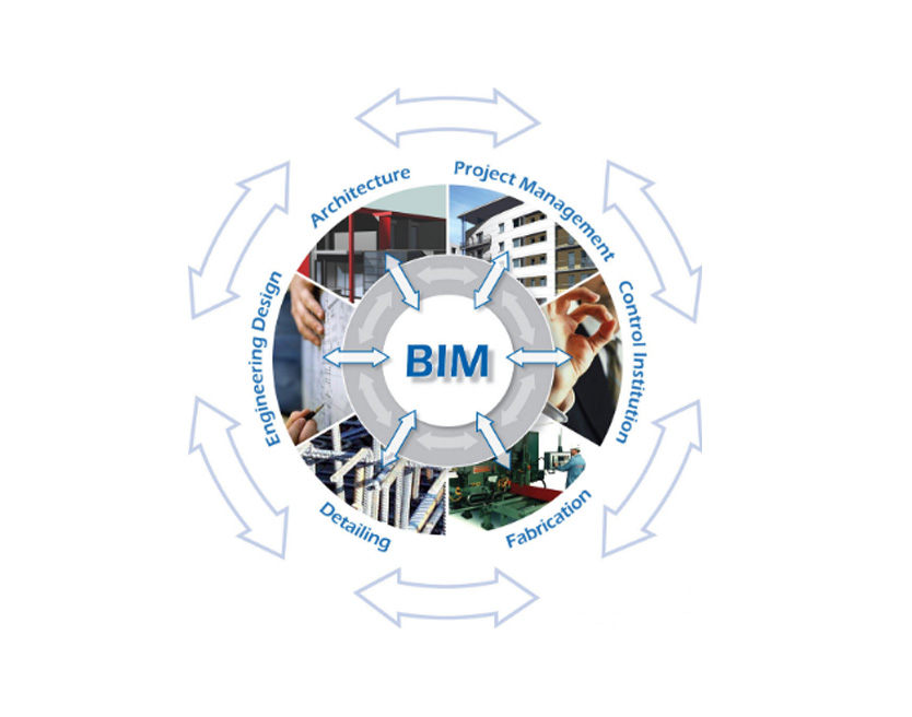
- Building Information Modeling (BIM)
About Us

Founded in 1994, Perunding Ukur Tekun is a professional consultant registered with the Land Surveyors Board of Malaysia, providing a wide range of consultancy services in land surveying & mapping.
From field surveyors and qualified surveyors to a professional management and support team, our dedicated employees bring a wealth of experience and expertise in the various aspects of land surveying and mapping. We also possess state-of-the -art surveying equipment, software and facilities that will enhance the efficiency of our services.

VISION
To be recognised & respected as one of the premier consultancy firm in land & mapping frontier.
MISSION
To provide continued client satisfaction by maintaining value driven attitude employees.
OUR CORE VALUES
- Integrity and accountability in execution of commitments
- Innovation in Process and System
- Shared vision among team members and teamwork as a way of life
Our Project
The Clients we have worked with:
